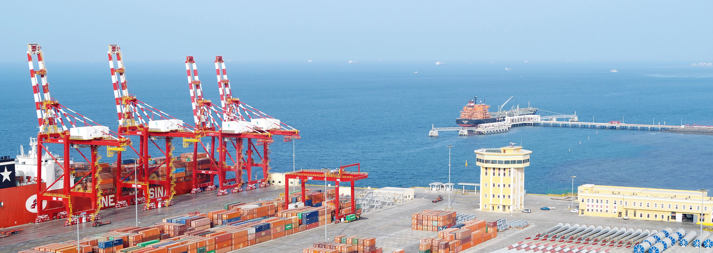
Hydrographic site survey Doraleh Port Djibouti
Deep conducted a hydrographic site survey of the newly built Doraleh Multipurpose Port in Djibouti.
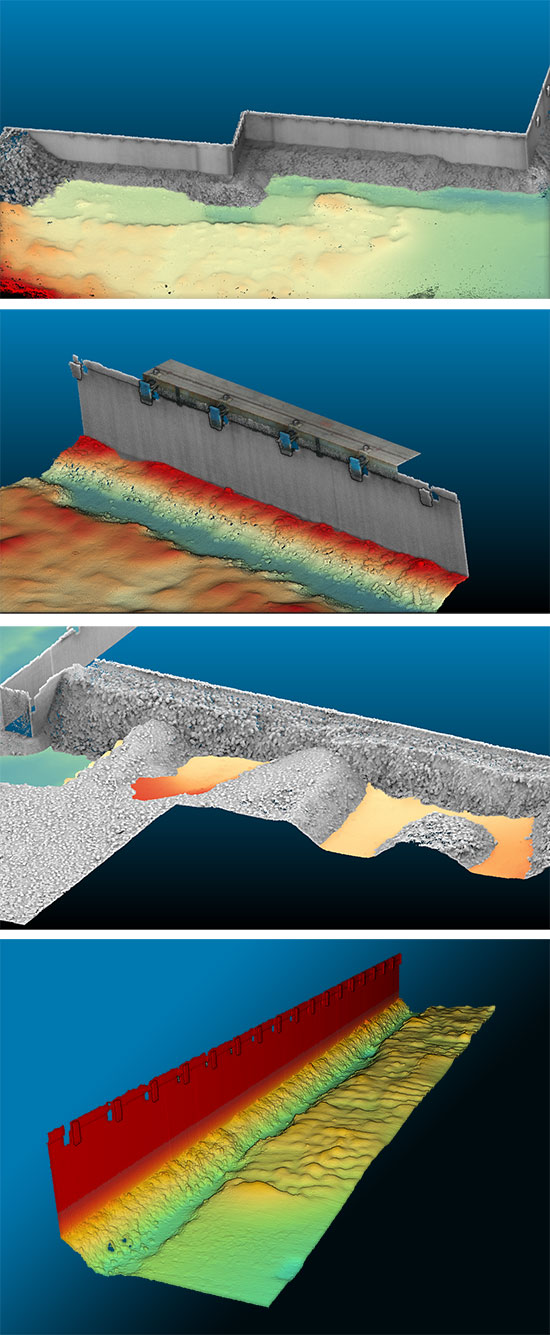
During a 10-day survey, Deep performed a series of high-resolution multibeam surveys in order to demonstrate the bathymetry of the dredged areas and vessel berths. Another objective of the survey was to survey the foundation structures of the quay wall and revetments. In order to achieve the best coverage, sub-surface multibeam data was combined with a topographic aerial drone survey.
The surveyed area comprised approximately 1400m of quay wall, East and West revetments and two dredge areas.
After the sub-surface data was acquired by Deep, the topographic aerial survey was carried out by Terra Drone Europe. The two datasets combined offered a complete overview of all significant assets, below as well as above surface.
Deep was contracted by Royal Haskoning DHV (RHDHV), who has been appointed to provide specialist maritime consultancy services to Port de Djibouti S.A. The construction of the port was finalized in 2017 but there has been concerns about the condition of some of the assets.
According to the purposes of this survey, a comprehensive set of deliverables was compiled which was handed over to the contractor responsible for the port construction. The report will eventually be used for in-depth analysis in order to plan the potentially required construction works of the maritime structures.