Porthos pipeline route survey
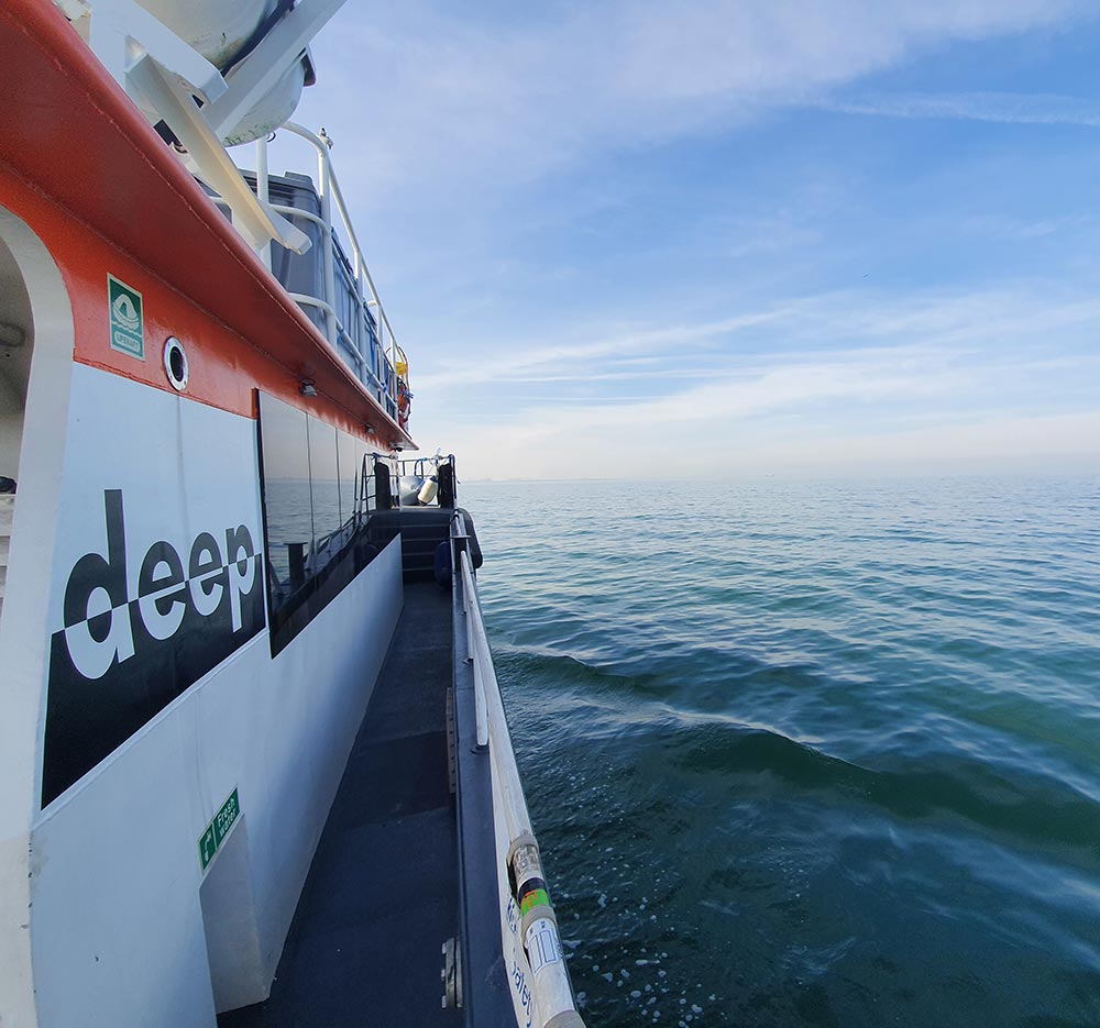
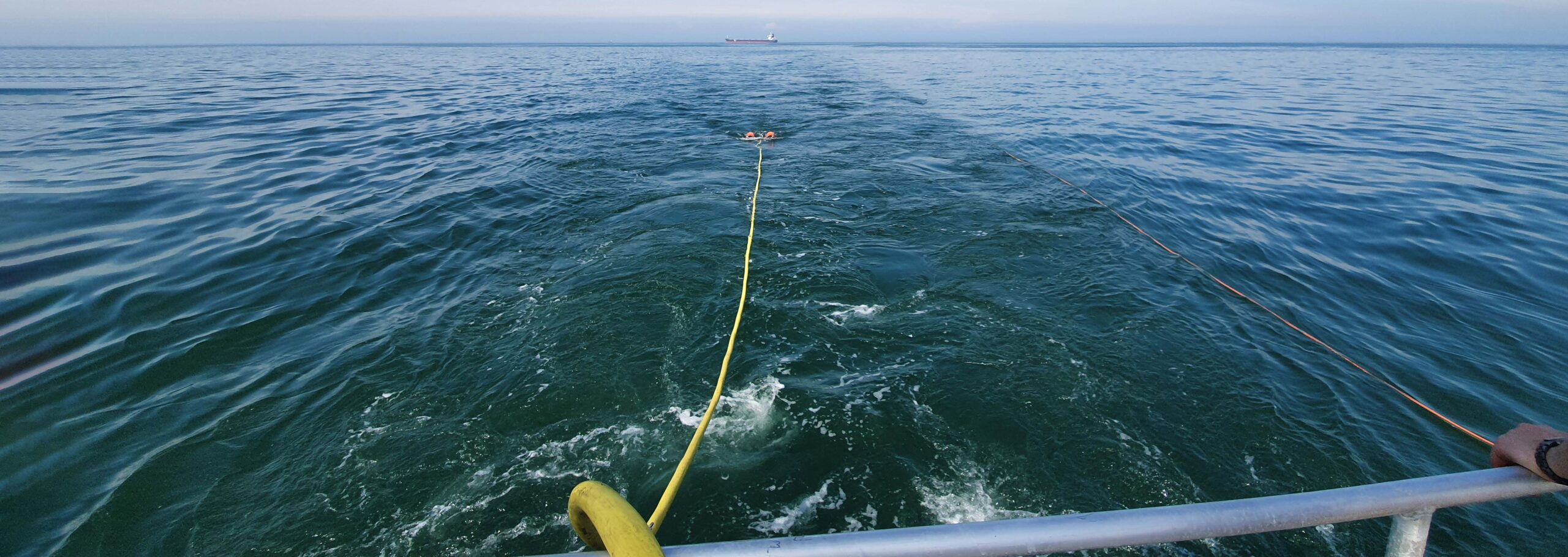
Porthos pipeline route survey PORTHOS consortium (Port of Rotterdam CO2 Transport Hub & Offshore storage) has initiated a plan to collect CO2 from the industrial area of the port of Rotterdam and transport it to an abandoned gas field in the North Seas for storage. In 2019 Deep BV performed a hydrographic and geophysical survey for the Porthos CCUS project on behalf of Port of Rotterdam. For permit application, an additional survey had to be conducted in the beginning of June 2020. Scope of work The survey consisted of multibeam echo sounder, sidescan sonar, magnetometer and sub-bottom profiler techniques to map the seabed morphology, the shallow geology and to identify objects on and in the seafloor. The detection of existing infrastructure was also part of the scope. Results The survey produced excellent high resolution bathymetry and good sidescan sonar imagery. The combined sub bottom profiles techniques (parametric echosounder and single channel sparker) gave a proper insight in the sub bottom strata along the proposed route. The magnetometer survey enabled sub seabed object detection. All survey results were integrated in a GIS dataset and an interpretive report.