UXO Survey Trianel Offshore Wind Farm
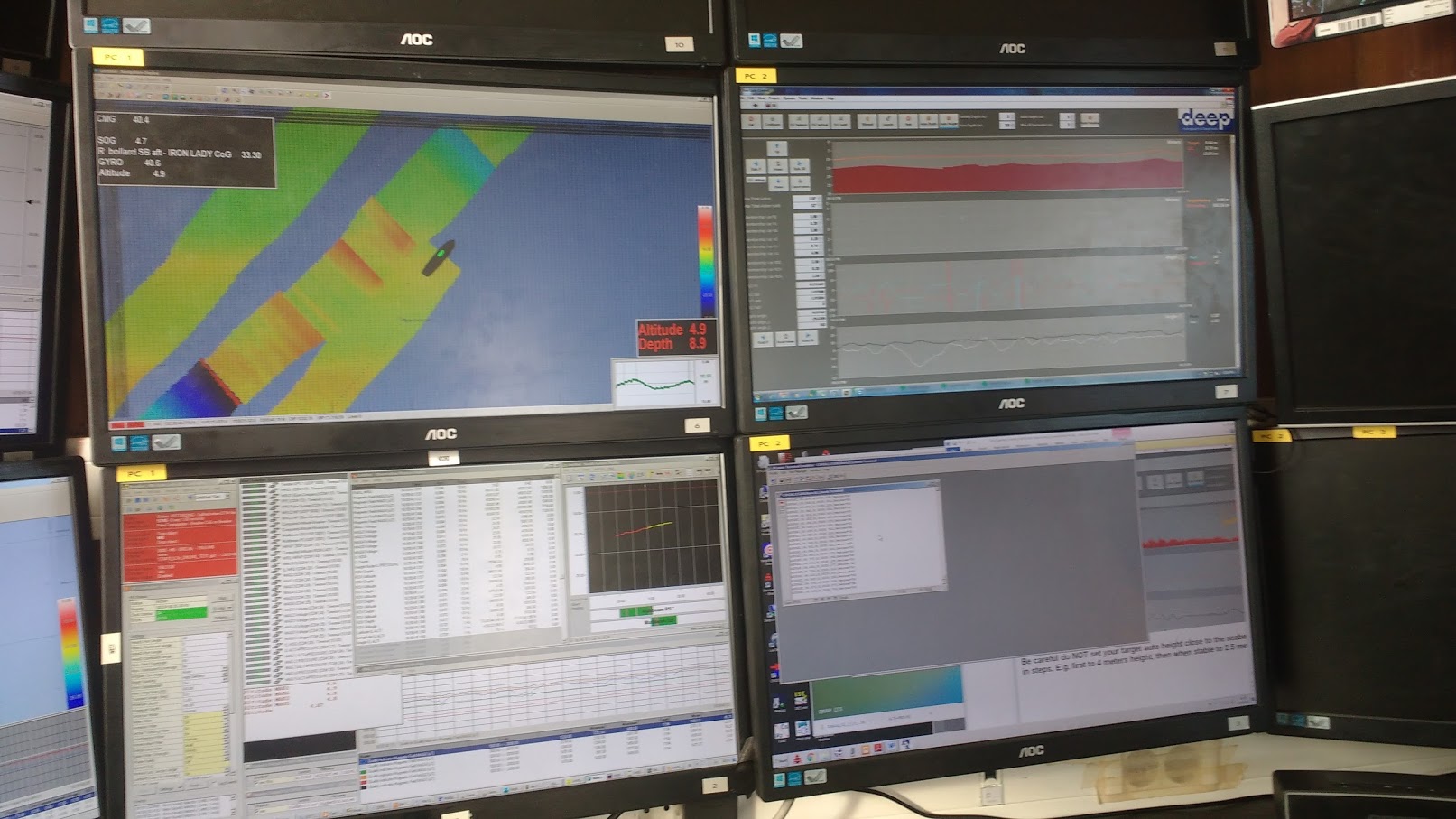
In the summer months Deep conducted in co-operation with IGEOTEST a geophysical, geotechnical and UXO survey for the Trianel Offshore Wind Farm (OWF) array cables and WTG locations. Survey vessel BREAKER simultaneously executed the bathymetric and geophysical survey, mapping the seabed and shallow geology along the cable routes and WTG locations. For gathering the bathymetric data the Innomar medium sub-bottom profiler and Kongsberg dual head 2040 multibeam system has been used.
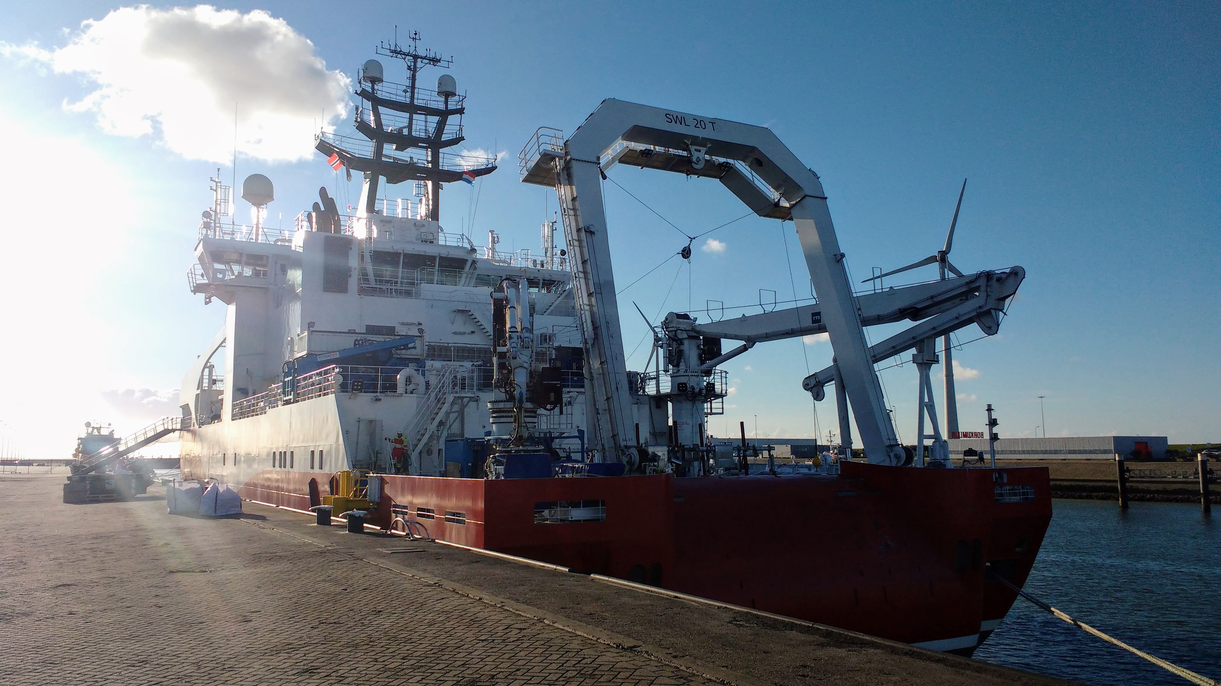
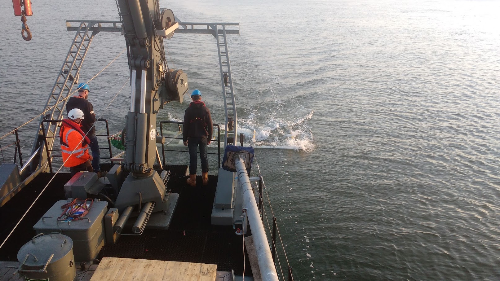
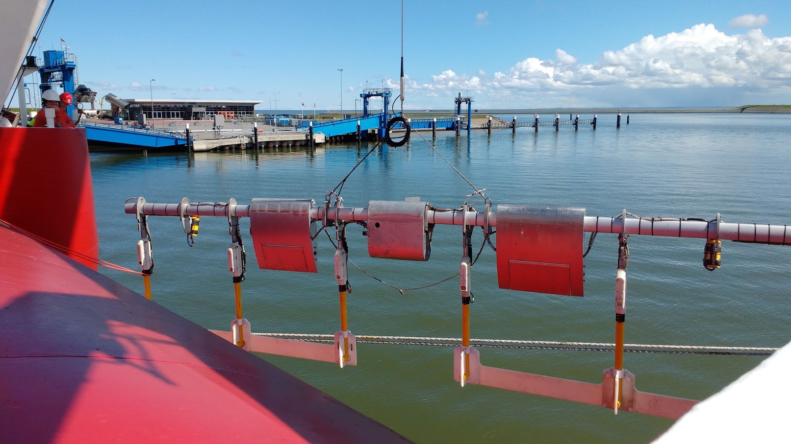
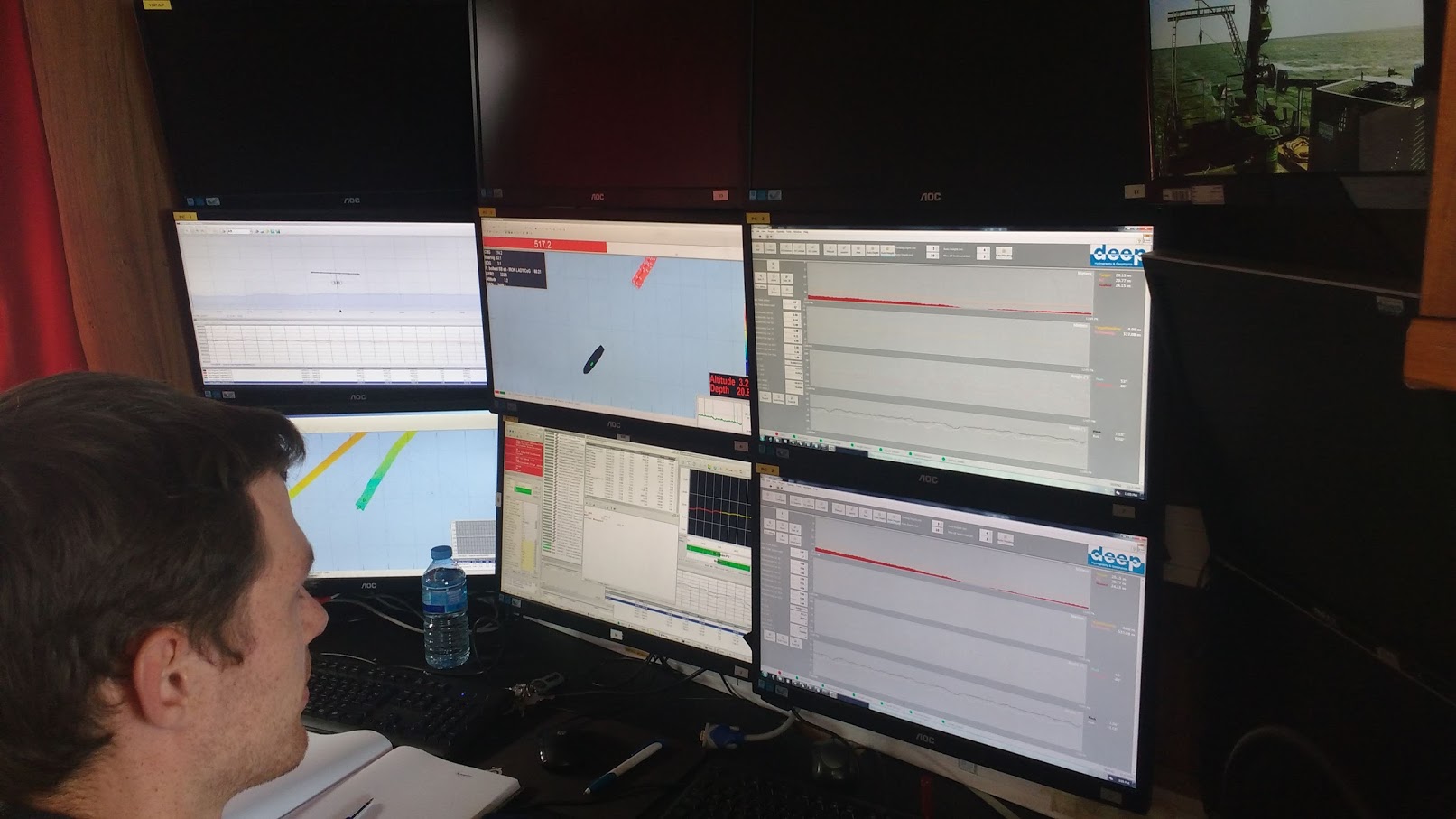
The UXO survey was conducted with the SIEM Aimery and consisted of simultaneous execution of sidescan sonar survey and UXO survey using Deep’s Iron Lady. The objective of the sidescan sonar was to map the corridor and the WTG locations detecting objects on the seafloor. The Iron Lady was used to map ferrous objects along the cable routes and at the WTG locations. Deep has developed a Remotely Operated Towed Vehicle (ROTV) to carry multiple magnetometer sensors to increase productivity, data density and data quality. This ROTV is equipped with 6 Cesium magnetometers at 1,5 meter spacing and has a “swath” of 7,5 meters.
The Geotechnical part of this survey consisted of a CPT survey to determine the geotechnical engineering properties of soils and delineating soil stratigraphy at 20 locations and a vibrocore survey to collect undisturbed soil samples at 20 locations. Following completion of the survey, all data and samples are returned to the onshore laboratory facilities in Figueres, Spain, which are especially designed for efficient and high quality logging and testing of samples in soils.[:]